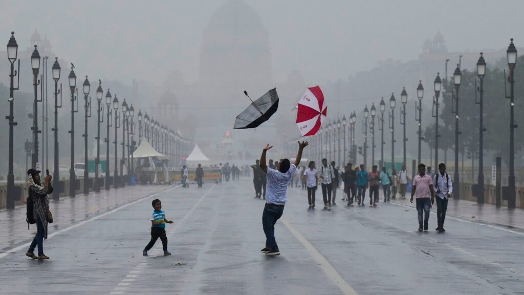
In an era defined by the climate crisis, the monsoon continues to play tricks. After its sluggish progress up India’s western coast the past two weeks, the monsoon covered Mumbai and Delhi on the same day, marking the first time since 1961 when the annual rains arrived in the two megapolises 1,500km apart at the same time. The India Meteorological Department’s (IMD) announcement also birthed a peculiar situation where the monsoon onset was delayed by two weeks but arrived two days early in the national Capital. One of the main reasons for the unusual pattern was cyclone Biparjoy which sapped moisture from the Arabian Sea, which feeds the monsoon rains on the west coast. This meant that the Arabian Sea arm of the monsoon was disturbed. Close to the weekend, both the Arabian Sea and Bay of Bengal arms activated, creating an east-west trough from north Punjab to northwest Bay of Bengal, which cut across Haryana, south Uttar Pradesh, northeast Madhya Pradesh, north Chhattisgarh and north Odisha – all of which received rains.
With the monsoon arriving in large parts of India, the authorities must now keep an eye on the spatial and temporal spread of showers, crucial for the sowing of summer crops that will determine the inflation trajectory. The climate crisis has sent traditional forecasting and weather patterns haywire. The headline monsoon numbers, therefore, might hide nuances and stories that are important for policymakers and scientists. These micro-narratives about the monsoon will need to be examined closely so that the country can prepare better for rapidly changing weather patterns.